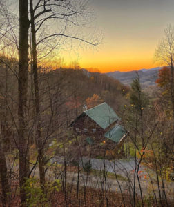
Here you can find Google’s directions to The Log Cabins on Neils Creek. The address is clearly marked on a stone pillar and there is a sign at the start of the driveway. You will be staying in the cabin on the left.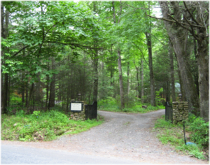
Be sure to map it WELL BEFORE you get into the mountains as the cell service here can be very spotty. I would not at all recommend using traditional GPS unless you map it before you leave and it matches up with Google Maps. If you would like to check the weather, we have found that Ray’s Weather is generally the most accurate.
 Please note that portions of the Blue Ridge Parkway are closed from January until around April 1st of every year. In November and December, check carefully, because particular exits on the Parkway may be closed because of weather. There is a real-time map of Parkway closures here.

 Be sure to map it WELL BEFORE you get into the mountains as the cell service here can be very spotty. I would not at all recommend using traditional GPS unless you map it before you leave and it matches up with Google Maps.
.